My Latest Road Trip

Fort Rock in southern Oregon, a favorite place with a fascinating geology and history.

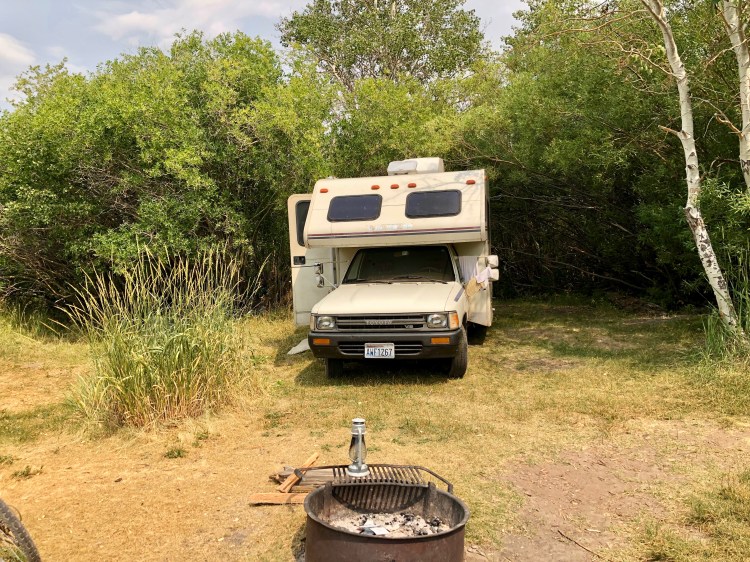
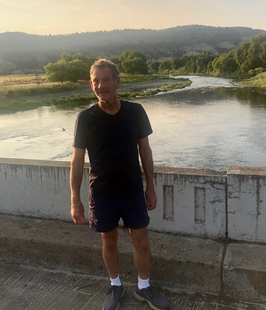
I recently returned from more travels east of the Cascade Mountains, through eastern Washington, Oregon, and northern Nevada. My friend, Eric accompanied me in his camper.

Our camp in the open field at Crane Hot Springs, Oregon.
Hart Mountain National Antelope Refuge, Oregon.

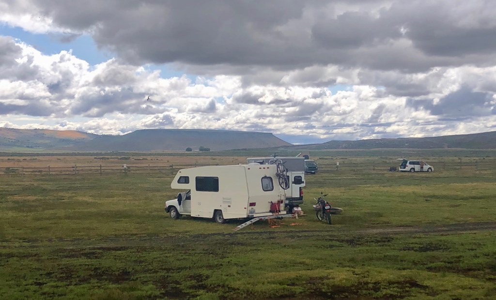
I took along my dual sport Yamaha XT 250 motorcycle.

The Yamaha and “Kermit” (my 1990 Toyota minnie-winnie), both got a pretty good workout.
A back road in the antelope refuge.

Over the last several years of traveling the high deserts and Great Basin I’ve made some interesting observations.

Observation 1: Most small towns have better phone service than where I live.

I live in Birch Bay, WA, population about 12,000. The place has no post office, schools, or shopping centers. I have at most two bars on my cell phone at home. To make phone calls I must often walk up to the nearby golf course or the millionaire’s subdivision adjacent to ours, to get adequate service. I use Verizon, but the same was true with my previous service provider.

Below is just a partial list of towns in Eastern Oregon and Washington with a population under 600 I have visited in my travels, which have four or five bars service. I’ll leave you to draw your own conclusions about how progressive Whatcom County is with respect to communication infrastructure.

Adel, OR—pop. 40; Coulee City, WA—551; Dayville, OR—132; Crane, OR—116; Fossil, OR—447; Grass Valley, OR—167; Lexington, OR—216; Mansfield, WA—328; Maryhill, WA—46; Moro, OR—380; Paisley, OR—255; Spray, OR—138.

Virtually every community I have visited east of the Cascades in Washington and Oregon has better cell phone and internet service than the Birch Bay/Blaine region.

Signs in yard in Lakeview, Oregon.

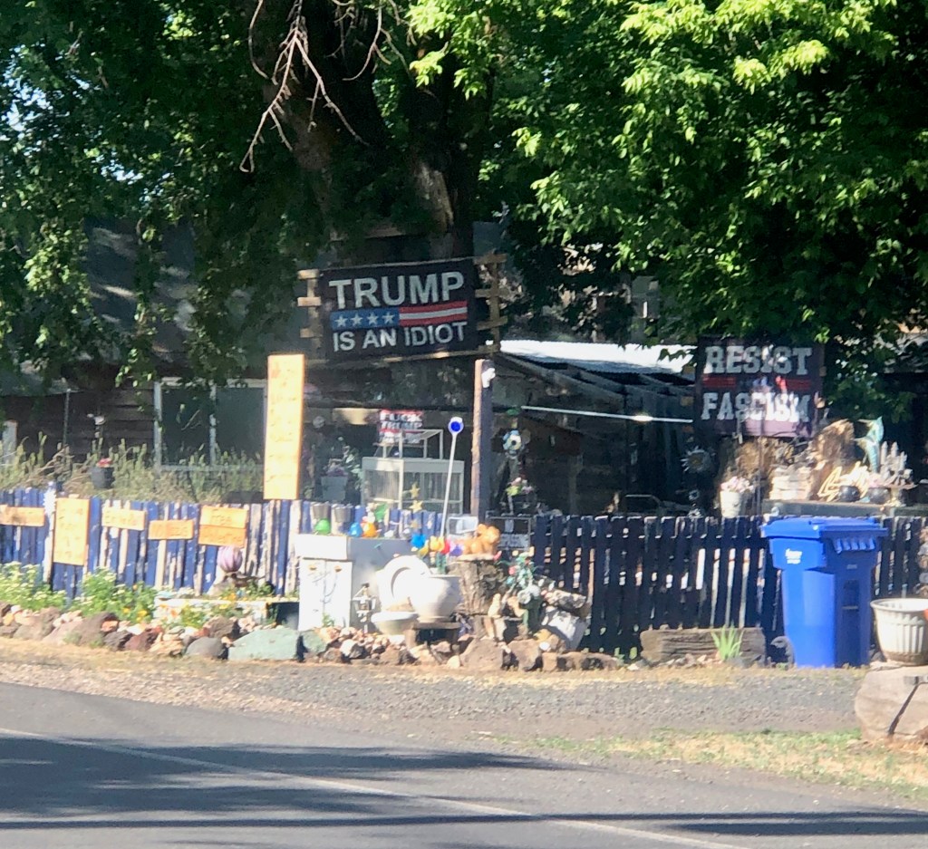
Observation 2: It’s common knowledge that the majority of folks east of the Cascades tend to vote Republican, and many are Trump cultists. But there are many exceptions, and the true picture is more nuanced.

Bend and Pullman are obvious exceptions, but even in some of the smaller towns the majority do not vote Republican, or the voting is very close. Parts of Eastern Washington are more progressive than the I-5 corridor in some ways. You will see road signs in both Spanish and English in some regions of Eastern Washington, and many schools offer Spanish language courses. Here in the Blaine school district, supposedly progressive, Spanish is not even offered until high school—inexcusable!

Movable type cabinets display, Moro, Oregon.

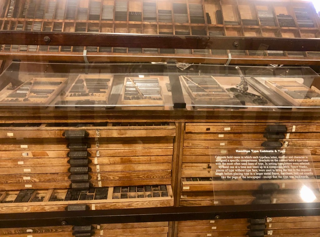
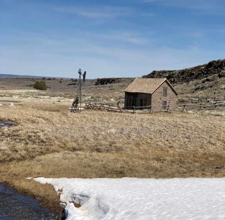
Observation 3: Many of the small towns have excellent museums that are well worth a stop.

Old combine Moro, Oregon museum.

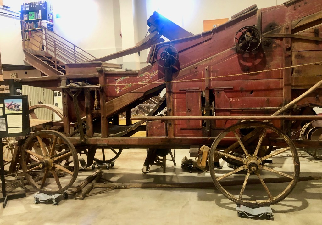
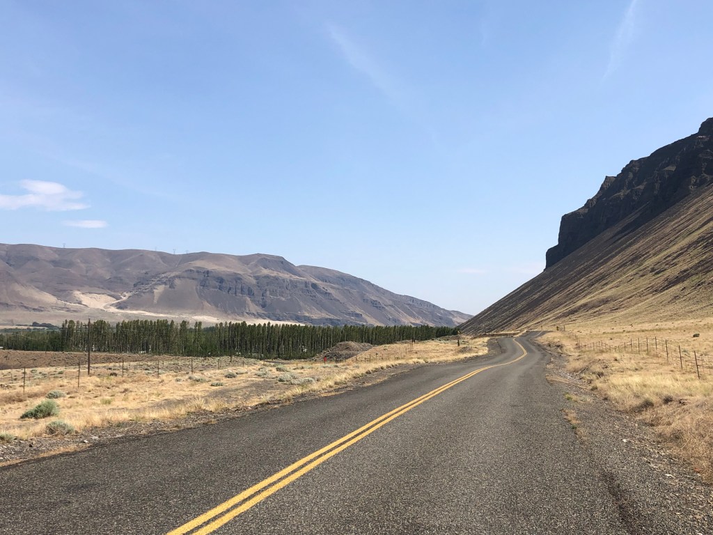
If you’re driving through Oregon on Highway 97 and have some spare time, check out the museum in Moro, just a few miles south of the Columbia River crossing. The old printing press display is world class. Many of the small towns have good museums with a wealth of information on their history.

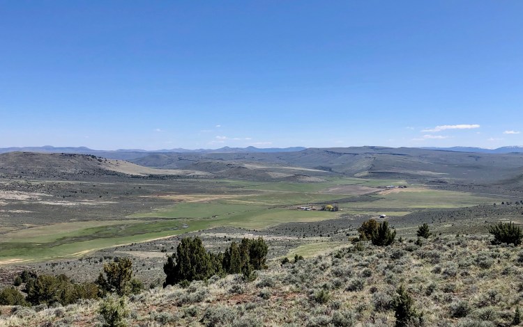
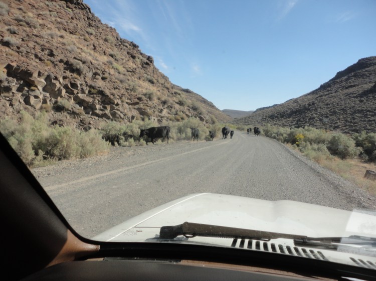
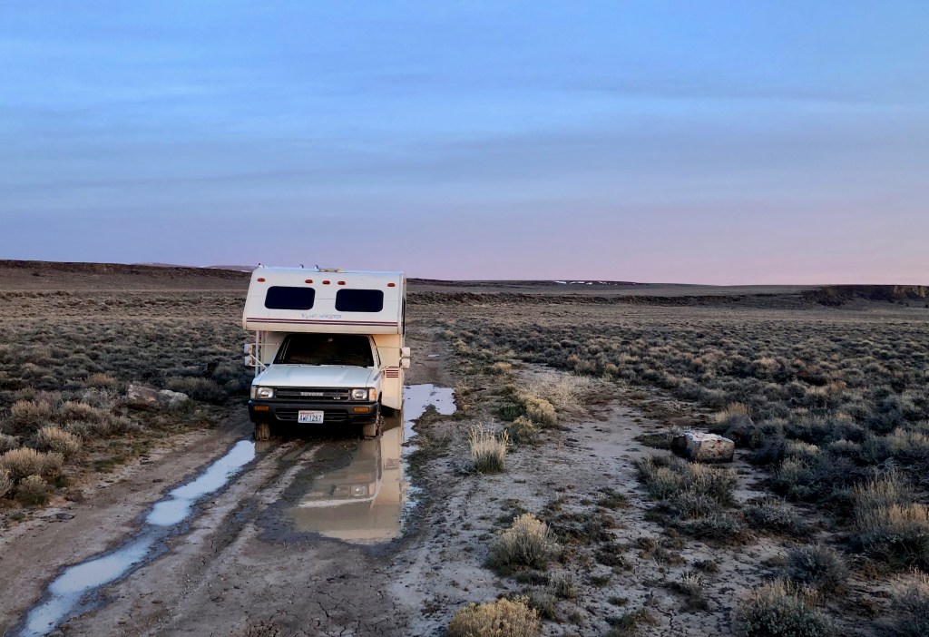
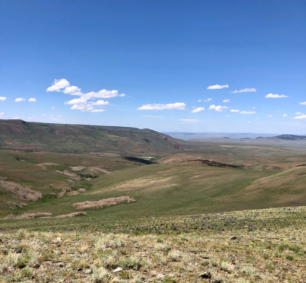
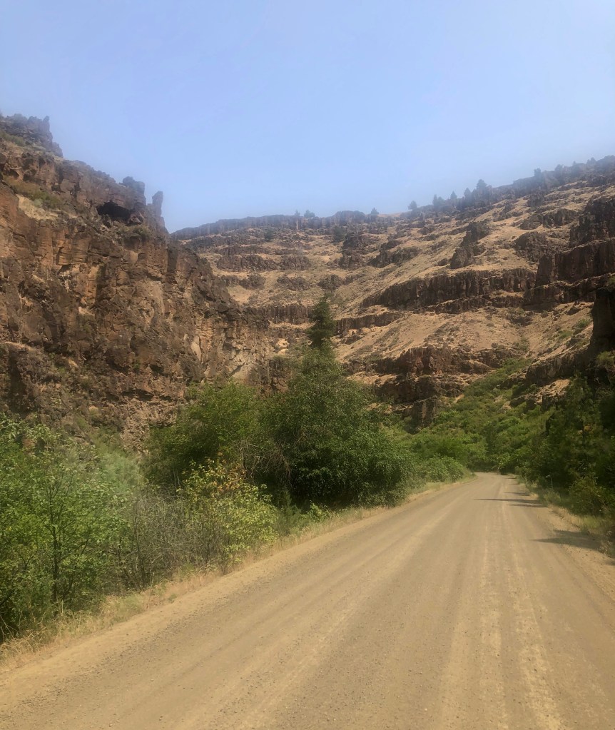
I almost always pass through John Day River country on my return trip. This time I followed the south fork of the John Day. It was slow driving along a mostly decent gravel road. Besides Eric, following at a good distance behind me to avoid my dust, I only encountered a couple of other vehicles on this section of the road.

Road following the South Fork of the John Day River, Oregon.

Once again we camped along the John Day before heading north to the traffic and congestion of Washington. It’s always hard to come back to the I-5 corridor after these adventures. So instead of immediately heading up I-90, the fastest route home, I spent a couple days in eastern Washington enjoying the mid 80s temperatures, before heading home via Highway 20.

Standing on a bridge over the John Day River, Spray, Oregon.

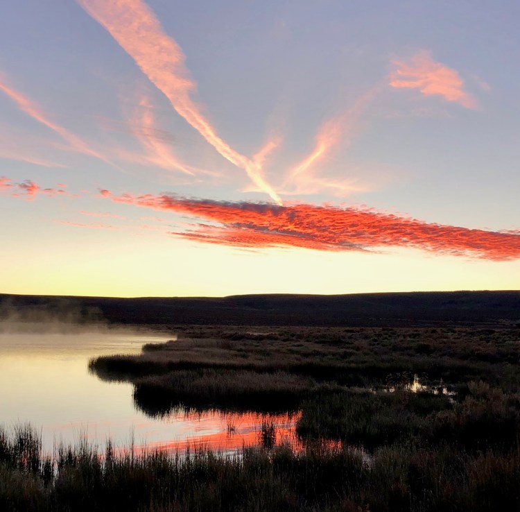
While camping near Vantage, Washington, I took a motorcycle ride down the west side of the Columbia River, past the Wanapum Dam and the old railroad bridge (now part of the Palouse to Cascades State Park Trail, formerly the John Wayne Pioneer Trail), and through the imposing Sentinel Gap. There were no boats nearby on the river or people on the beach that warm Wednesday afternoon, so I cooled off with a skinny dip in the Columbia River.

South of Vantage. Orchards along Columba, and the Sentinel Gap ahead.
Wanapum Dam and I-90 bridge in the distance.
The old iron railroad bridge, now part of the Palouse to Cascades State Park Trail.
It was a nice place for a skinny dip!

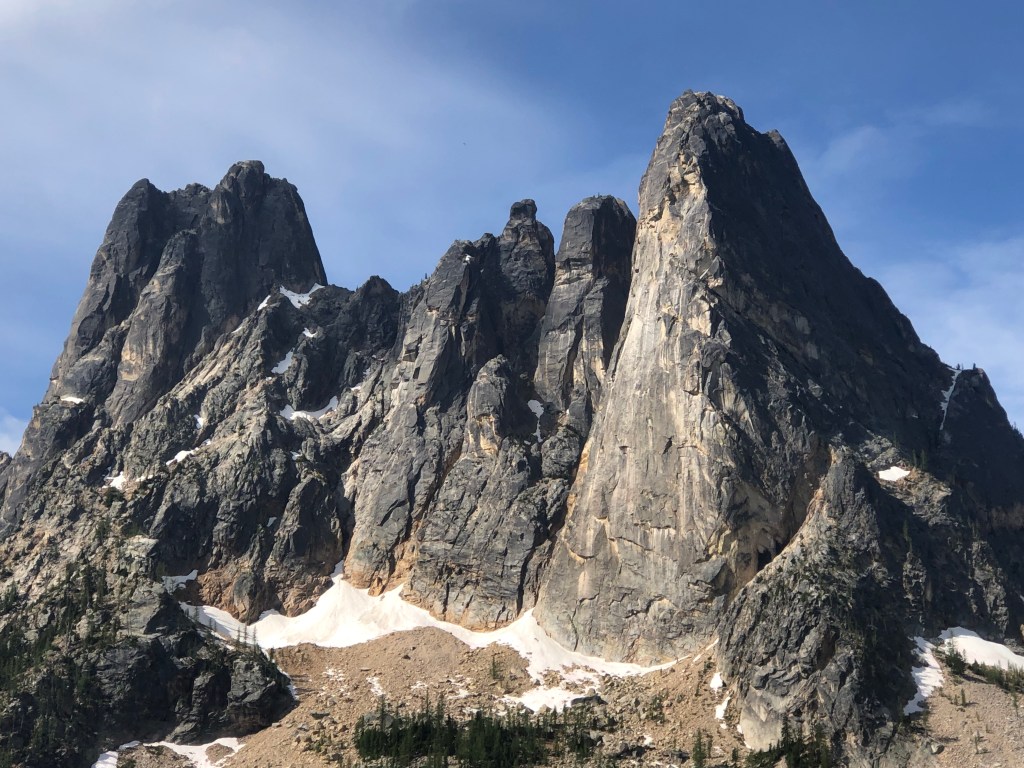
Liberty Bell and associated peaks at the top of the pass on Highway 20. Always a great stop.

High Desert Travels

Several times each year I head down to the Oregon and Nevada high desert regions for a break from the wet weather and the dense population on the west side of the Cascade range. I’ve spent most of my life west of the Cascades in Washington, Oregon, and Alaska, but I’ve grown to love the dryer weather, open vistas, darker night skies of the Great Basin region. I recently got back from my first trip of 2025.

Last Chance Ranch, Sheldon National Wildlife Refuge
Chicken coop ruins at IXL ranch, Nevada.
Cattle in the road, Whitehorse Ranch, Oregon.
Gorge, Sheldon National Wildlife Refuge.

I travel in my 1990 Micro-Winnie with a couple of old friends or by myself, and occasionally with my family. The goal is to always to get off of the I-5 corridor as quickly as possible, where traffic is generally heavy, and it’s often rainy. I generally spend the first night somewhere along the Columbia River. This spring one of my favorite campgrounds is closed, due to Trump’s staff and budget cuts. A park ranger informed me she was not sure when or if they would open again this year.

My granddaughter above the Columbia River.

Our wisest and most statesman-like presidents set aside land for the use of the citizens, and to preserve the rapidly vanishing wild areas. The short-sided ones privatize those regions for corporate profit.

“Kermit” at campground in Hart Mt. Antelope Refuge

This year I’m taking along a dual sport motorcycle on some trips. I plan to get deeper into some of the places where “Kermit” shouldn’t go.

Yamaha loaded on “Kermit.”

Many people live their whole lives without ever seeing the Milky Way, or more than a few hundred stars. I’m fortunate to live a day’s drive away from some of the darkest night skies in the country, where the dome overhead is filled with the light from millions of stars. The sunrises and sunsets are nice too!

Sunrise in the Sheldon Wildlife Refuge.
ReplyForwardAdd reaction

But it’s not all camping in state and national parks, or on BLM land or other more remote locations. Now and then I stop into a local watering hole to have a drink with the locals, and other travelers. Who knows, maybe I’ll see you out there this summer!

Mike at unique bar above the John Day river.
An old bar in the Ruby Mts., Nevada

A Long Walk

I’ve always told my children “stupidity usually leads to pain,” or at least inconvenience. It seems we’re never too old to learn things the hard way.

On my latest trip to the high deserts and basin & range region of Oregon and Nevada I chose a different route, which led me through some of the most isolated and starkly beautiful parts of the Sheldon Wildlife Refuge. For two days I didn’t see a single other vehicle or human. There are no towns anywhere in the region, and the night skies are some of darkest in North America. It was fabulous—except for a complication. I turned off the road to park and got “Kermit,” our 1990 Toyota “minnie-winnie” stuck.

With no cell service I had no choice but to walk the approximately 25 miles to the highway. I got up early and, after a pot of coffee and some calories to get me going, hit the road at about 6:30 AM. It was surprisingly warm. The mud puddles hadn’t frozen overnight. As I walked it turned into a perfect day, clear skies and mid-70s. I observed hawks, pronghorn antelope, and piles from the wild horses in the region. A couple of coyotes crossed the road—probably hoping the old man would soon collapse and they could be first at the feast. About half way my stroll I crested at 6700 ft. At least the altimeter application works even when there is no cell phone service.

I reached the highway about 1:00 PM (Not too bad for an older dude, I thought.), a bit sweaty, but otherwise no worse for wear. It seems the folks in the vehicles speeding by at the rate of approximately one every fifteen minutes regarded me as some sort of suspicious homeless creep. (In their defense I might not have stopped for myself either!) Finally an older couple in a newer pickup pulled up. I convinced them to drive me the forty miles to the ranger station. The head ranger told me he’d already been stuck three times this spring, and agreed he needed to check out the road for himself.

On the drive back I learned much about the region from the head ranger, who has been there 21 years. One cool fact: In the last 11 years they have removed over 350 miles of fencing, so now you can ride a horse or walk anywhere without encountering a fence, as it was before ranchers arrived in the 1880s. I learned that only two rangers work year round to manage this 550,000 acre refuge (though they hire some seasonal help). Imagine if this was privately managed. It would be dozens if not hundreds of workers, subcontractors, managers, etc. Don’t tell me private for-profit businesses can always do things cheaper and more efficiently than government. In fact, the refuge’s infrastructure owes its existence to the WPA and the FDR administration’s policies of the 1930s.

As I walked my mind wandered—one of the reasons I’ve always loved to walk. While editing my great grandfather’s memoirs, “The Roving Fitzgeralds,” I thought about what it must have been like before the automobile, when people walked or rode great distances. I’ve read that most wagon trains heading west did well to average 20 miles a day. Now I don’t have to imagine—I know what it was like!

Still, next time I’m down in that area I will be far more likely to stay away from mud puddles! On the other hand, I hope to get in a few longer hikes in the future, while I’m still able. There is much to be said in favor of traveling on foot. Even a bicycle can be too fast to fully appreciate your surroundings.

The Last Chance Ranch, at about 6,200 ft in the Sheldon Wildlife Refuge.

A park building seasonal ranger post. Another legacy of the WPA projects of the 1930s.

It was great to get to this sign. Only five miles to go!